
Other than city parks, county parks, state parks and beaches, here is another kind of place you can hike. The Dish is a special area to both Stanford and the surrounding communities, and it serves many purposes. (link to Stanford website)
We park on the Stanford Ave off Junipero Serra Blvd. Limited parking space, so you would want to come early. So wait a bit, there would be people leaving. Cross the Junipero Serra Blvd is the gated trailhead. The area map provides a good view of the area. We are at L1 now, follow the blue, you can choose clockwise or count clockwise. Total length is about 6KM. There is no shed thoughout the trail. Can't imagine it would be like in the summer.

To begin with is the uphill. Saw people running (slowly).


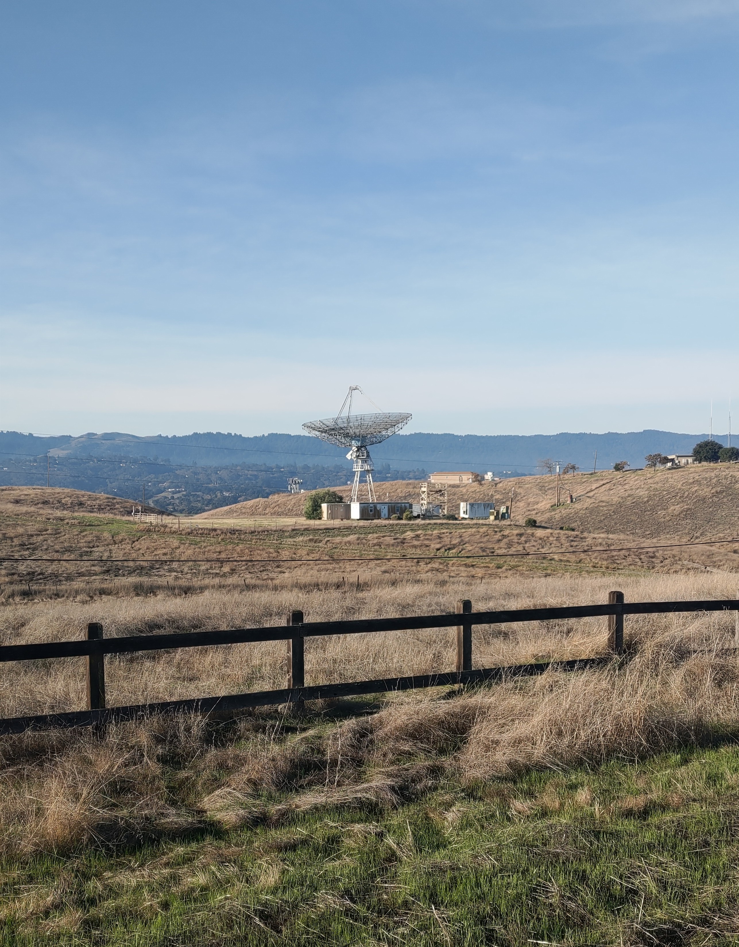
Turn to the other side, the 1st dish shows up. And not too far away, the 2nd dish (top of the page).

Continued on, you cae see the Stanford Golf Course.


No comments:
Post a Comment